

The Economic Community of West African States (ECOWAS) is advancing plans for ECOSAT-1, a proposed regional Earth observation satellite. The immediate test is whether it can turn imagery into usable government information.
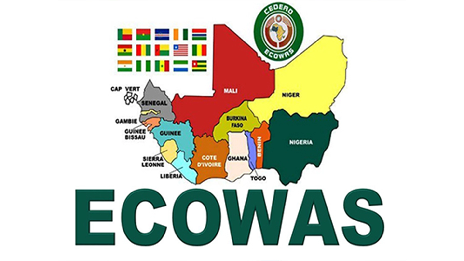
A three-day technical meeting opened in Abuja on November 18 and is scheduled to end on November 20, 2026. Experts from ECOWAS countries, the Commission and Nigeria’s National Space Research and Development Agency (NASRDA) are reviewing the satellite’s proposed architecture and technical specifications. Their report will go to ministers responsible for science, technology and innovation for consideration. The project is at the design-validation stage; no launch has been announced. The bloc currently lists 12 members, following the withdrawal of Burkina Faso, Mali and Niger in January 2025.
What ECOSAT-1 is expected to do
NASRDA says the satellite will carry two imaging instruments: a high-resolution imager for features such as buildings and roads, and a wide-swath multispectral imager for river basins, farmland and coastlines. It is designed for a seven-year operational lifespan.
The images could help authorities map flood damage, identify affected roads and public facilities, monitor farmland and coastal changes, and manage natural resources. ECOWAS also lists food security, disaster early warning, epidemiological surveillance and conflict monitoring among the intended applications.
An Earth observation satellite records information about the planet’s surface; it does not independently forecast floods, diagnose disease or deliver relief. Those results depend on analysis, ground observations and agencies able to act.
The data-sovereignty question
NASRDA Director-General Matthew Adepoju says West African countries rely on free medium-resolution imagery from foreign missions and often pay commercial operators for higher-resolution images. He says this can limit control over when an area is photographed, especially during emergencies.
ECOSAT-1’s promise is greater regional influence over what gets observed and how data is accessed. However, ownership will not mean independence from all international data. The European Union’s Copernicus programme, for example, provides Sentinel Earth-observation data free and openly. ECOSAT-1’s value will depend on the coverage, resolution, timing and services it adds.
The infrastructure behind the satellite
The Abuja meeting is reviewing the proposed hardware and software, ground-station locations, existing regional infrastructure, training needs, the budget and potential partners. NASRDA also unveiled a three-dimensional printed model.
These systems will determine whether images reach decision-makers in time. An African Development Bank plan for regional satellite and weather-information services identified weak infrastructure, shortages of trained personnel and the risk that disaster agencies might not use information in their decisions. ECOSAT-1 must address similar challenges.
Back story: From proposal to technical design
The initiative follows recommendations from the third ECOWAS ministerial meeting on science, technology and innovation, held in Cotonou on December 8, 2018. A needs assessment followed in 2023, before NASRDA conducted the technical study now under review.
ECOWAS says the validated report will go to ministers for consideration. Official material reviewed does not state a confirmed launch date or final project cost. The next test is whether member states agree on a workable design, financing and shared operating arrangements.